Love Pacman? How about Google?
Did you love Pacman growing up? The ghosts, fruits, balls... it was just fun!
Well, yesterday I saw that Google just amped up Google Maps to include a Pacman mode! No, I'm not fool'.
Well, yesterday I saw that Google just amped up Google Maps to include a Pacman mode! No, I'm not fool'.
See that icon in the bottom left? That's Pacman mode! Now, it isn't available everywhere (mostly because there need to be a high concentration of roads from what I can tell). Initially I had high hopes of taking Mr. Pacman around the town as a geography lesson for the kids. But I think it still has potential for geography lessons. Here are some ideas to get you started:
- When you go to play, you can type in a city (such as Paris) and then turn on the Pacman layer and you can play. But where in Paris is that? What is going on in that area? Does it have a historical importance? What is the geography like in that area?
- If you are already in a rural area when you click on the Pacman layer then it will give you the option to play in another place. Then Google Maps goes to a new location! I think that's awesome for classes because then your students can play and subsequently have to research the area and share a bit about where they played. How far out did you have to zoom before it was identifiable? Are the road designs different in the country, state, etc. that they are in as compared to where they live?
I'm sure there are more. How do you think you could tweak it to engage your students?
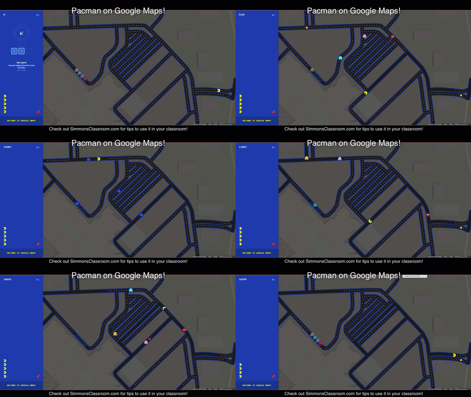
And, finally, here is how it looks to play it, assuming you haven't done so already:


Comments
Post a Comment